
File:ChinaZhejiangNingbo.png
无更高分辨率可提供。
ChinaZhejiangNingbo.png (520×505像素,文件大小:32 KB,MIME类型:image/png)
小结
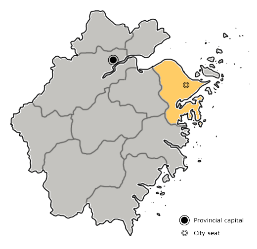
| 描述 | The sub-provincial city of Ningbo is highlighted on this map of Zhejiang province, People's Republic of China. |
| 日脚 | 2005年10月24日 (原始上传日期) |
| 来源 | No machine-readable source provided. Own work assumed (based on copyright claims). |
| 作者 | No machine-readable author provided. Plastictv~commonswiki assumed (based on copyright claims). |
授权协议
| 我,本作品著作权人,释出本作品至公有领域。这适用于全世界。 在一些国家这可能不合法;如果是这样的话,那么: 我无条件地授予任何人以任何目的使用本作品的权利,除非这些条件是法律规定所必需的。 |
文件历史
揿一个日脚/辰光来望当时出现过个文件。
| 日脚 / 辰光 | 微缩图 | 维度 | 用户 | 备注 | |
|---|---|---|---|---|---|
| 当前 | 2011年9月30号 (五) 12:08 | | 520 × 505(32 KB) | Siyuwj | Blank background |
| 2005年10月24号 (一) 23:10 |  | 520 × 505(85 KB) | Plastictv~commonswiki | The sub-provincial city of Ningbo is highlighted on this map of Zhejiang province, People's Republic of China. Category:Maps of China | |
| 2005年10月24号 (一) 22:02 |  | 520 × 505(84 KB) | Plastictv~commonswiki | The sub-provincial city of Ningbo is highlighted on this map of Zhejiang province, People's Republic of China. Category:Maps of China |
文件用法
下向许1张用着箇文件:
全域文件用场
下底个其他wiki使用箇只文件:
- ar.wikipedia.org上个用途
- bn.wikipedia.org上个用途
- cdo.wikipedia.org上个用途
- ce.wikipedia.org上个用途
- da.wikipedia.org上个用途
- de.wikipedia.org上个用途
- en.wikipedia.org上个用途
- fa.wikipedia.org上个用途
- fi.wikipedia.org上个用途
- fr.wikipedia.org上个用途
- hak.wikipedia.org上个用途
- id.wikipedia.org上个用途
- it.wikipedia.org上个用途
- ko.wikipedia.org上个用途
- mn.wikipedia.org上个用途
- ms.wikipedia.org上个用途
- nl.wikipedia.org上个用途
- nn.wikipedia.org上个用途
- no.wikipedia.org上个用途
- pl.wikipedia.org上个用途
- sco.wikipedia.org上个用途
- simple.wikipedia.org上个用途
- ur.wikipedia.org上个用途
- vi.wikipedia.org上个用途
- zh-classical.wikipedia.org上个用途
查看本文件个更多全域用途。